 vesseltracker.com
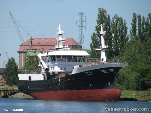
Vessel Don Ole IMO: 9763928, MMSI: 760000400 Fishing Vessel
UTC, -17.63523, -71.35545, course: 178, speed: 0.1
UTC, -17.63511, -71.35522, course: 227, speed: 0
2026-01-24 02:27:07 UTC, -17.63503, -71.35605, course: 136, speed: 0.3
Live AIS position:
UTC. Near Ilo),
updated 2026-01-24 02:27:07 UTC.
Find the position of the vessel Don Ole on the map. The latter are known coordinates and path.
marine traffic ship tracker show on live map
The current position of vessel Don Ole is -17.63503 lat / -71.35605 lng. Updated: 2026-01-24 02:27:07 UTCDetails:
Last coordinates of the vessel:
UTC, -17.63485, -71.35575, course: 194, speed: 0.4UTC, -17.63523, -71.35545, course: 178, speed: 0.1
UTC, -17.63511, -71.35522, course: 227, speed: 0
2026-01-24 02:27:07 UTC, -17.63503, -71.35605, course: 136, speed: 0.3