 vesseltracker.com
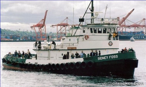
Vessel Richard O IMO: 7626190, MMSI: 368010320 Tug
UTC, 49.37902, -123.90950, course: 134, speed: 5.8
UTC, 49.19420, -123.60363, course: 144, speed: 6
2026-02-24 08:12:20 UTC, 49.04718, -123.41946, course: 132, speed: 6.7
Live AIS position:
UTC. 10 nm W of Robert's Bank),
updated 2026-02-24 08:12:20 UTC.
Find the position of the vessel Richard O on the map. The latter are known coordinates and path.
marine traffic ship tracker show on live map
The current position of vessel Richard O is 49.04718 lat / -123.41946 lng. Updated: 2026-02-24 08:12:20 UTCCurrently sailing under the flag of USA
Richard O built in 1976 year
Details:
Last coordinates of the vessel:
UTC, 49.47286, -124.11913, course: 125, speed: 6.4UTC, 49.37902, -123.90950, course: 134, speed: 5.8
UTC, 49.19420, -123.60363, course: 144, speed: 6
2026-02-24 08:12:20 UTC, 49.04718, -123.41946, course: 132, speed: 6.7