 vesseltracker.com
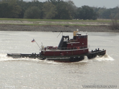
Vessel Aj Ellis IMO: 7702786, MMSI: 312783000 Tug
UTC, 16.51337, -88.40363, course: -1, speed: 0.5
UTC, 16.51337, -88.40363, course: -1, speed: 0.5
2026-02-04 13:01:56 UTC, 16.51337, -88.40363, course: -1, speed: 0.5
Live AIS position:
UTC. Near BIG CREEK),
updated 2026-02-04 13:01:56 UTC.
Find the position of the vessel Aj Ellis on the map. The latter are known coordinates and path.
marine traffic ship tracker show on live map
The current position of vessel Aj Ellis is 16.51337 lat / -88.40363 lng. Updated: 2026-02-04 13:01:56 UTCDetails:
Last coordinates of the vessel:
UTC, 16.45770, -88.38904, course: -1, speed: 4.9UTC, 16.51337, -88.40363, course: -1, speed: 0.5
UTC, 16.51337, -88.40363, course: -1, speed: 0.5
2026-02-04 13:01:56 UTC, 16.51337, -88.40363, course: -1, speed: 0.5