 vesseltracker.com
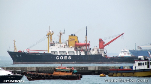
Vessel De Da IMO: 7814993, MMSI: 636014040 Tug
UTC, 87.29323, -111.69580, course: -1, speed: 94
2026-02-03 03:01:14 UTC, 87.29323, -111.69580, course: -1, speed: 94
Live AIS position:
UTC. Open sea, approx. 451 nm off the nearest listed port),
updated 2026-02-03 03:01:14 UTC.
Find the position of the vessel De Da on the map. The latter are known coordinates and path.
marine traffic ship tracker show on live map
The current position of vessel De Da is 87.29323 lat / -111.69580 lng. Updated: 2026-02-03 03:01:14 UTCDetails:
Last coordinates of the vessel:
UTC, 87.29323, -111.69580, course: -1, speed: 94UTC, 87.29323, -111.69580, course: -1, speed: 94
2026-02-03 03:01:14 UTC, 87.29323, -111.69580, course: -1, speed: 94