 vesseltracker.com
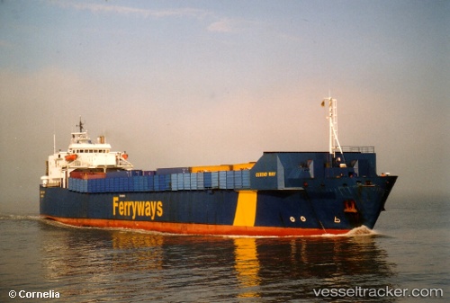
Vessel Bostan N IMO: 7816501, MMSI: 271002735 Ro Ro Cargo Ship
2026-01-26 10:23:34 UTC, 42.10116, 33.75492, course: -1, speed: 13.6
Live AIS position:
UTC. Near INEBOLU),
updated 2026-01-26 10:23:34 UTC.
Find the position of the vessel Bostan N on the map. The latter are known coordinates and path.
marine traffic ship tracker show on live map
The current position of vessel Bostan N is 42.10116 lat / 33.75492 lng. Updated: 2026-01-26 10:23:34 UTCCurrently sailing under the flag of Turkey
Bostan N built in 1980 year
Deadweight:
4538 tDetails:
Last coordinates of the vessel:
UTC, 42.10116, 33.75492, course: -1, speed: 13.62026-01-26 10:23:34 UTC, 42.10116, 33.75492, course: -1, speed: 13.6