 vesseltracker.com
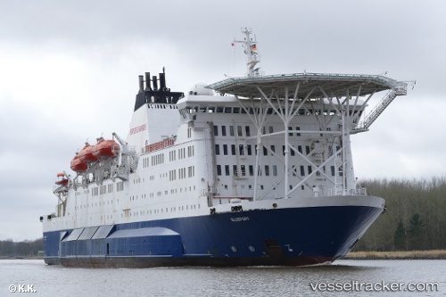
Vessel Bluefort IMO: 7816874, MMSI: 538005239 Offshore Support Vessel
Live AIS position:
UTC. Near Nantong),
updated 2025-10-13 00:02:36 UTC.
Find the position of the vessel Bluefort on the map. The latter are known coordinates and path.
marine traffic ship tracker show on live map
The current position of vessel Bluefort is 31.99677 lat / 120.63872 lng. Updated: 2025-10-13 00:02:36 UTCDetails:
Last coordinates of the vessel:
2025-10-13 00:02:36 UTC, 31.99677, 120.63872, course: 105, speed: 9