 vesseltracker.com
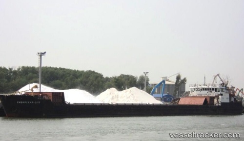
Vessel Volgodonsk IMO: 7911478, MMSI: 273387100 General Cargo Ship
UTC, 46.95682, 38.06820, course: 241, speed: 6.4
UTC, 46.95682, 38.06820, course: 241, speed: 6.4
2026-01-14 22:34:19 UTC, 46.95682, 38.06820, course: 241, speed: 6.4
Live AIS position:
UTC. 24 nm E of Mariupol),
updated 2026-01-14 22:34:19 UTC.
Find the position of the vessel Volgodonsk on the map. The latter are known coordinates and path.
marine traffic ship tracker show on live map
The current position of vessel Volgodonsk is 46.95682 lat / 38.06820 lng. Updated: 2026-01-14 22:34:19 UTCCurrently sailing under the flag of
Volgodonsk built in 0 year
Deadweight:
0 tDetails:
Last coordinates of the vessel:
UTC, 46.95682, 38.06820, course: 241, speed: 6.4UTC, 46.95682, 38.06820, course: 241, speed: 6.4
UTC, 46.95682, 38.06820, course: 241, speed: 6.4
2026-01-14 22:34:19 UTC, 46.95682, 38.06820, course: 241, speed: 6.4