 vesseltracker.com
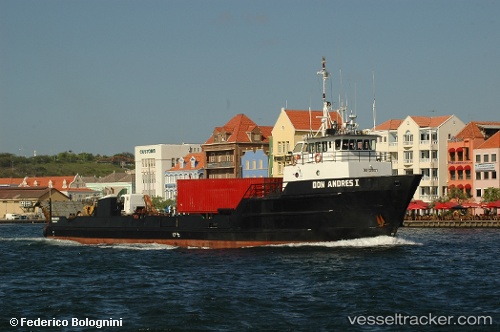
Vessel Don Andres I IMO: 7923237, MMSI: 353252000 Deck Cargo Ship
UTC, 12.02856, -68.73965, course: 91, speed: 7.8
UTC, 12.08667, -68.51333, course: -1, speed: 8
2026-01-19 20:19:33 UTC, 12.12802, -68.40114, course: 80, speed: 8.6
Live AIS position:
UTC. Near Goto),
updated 2026-01-19 20:19:33 UTC.
Find the position of the vessel Don Andres I on the map. The latter are known coordinates and path.
marine traffic ship tracker show on live map
The current position of vessel Don Andres I is 12.12802 lat / -68.40114 lng. Updated: 2026-01-19 20:19:33 UTCDetails:
Last coordinates of the vessel:
UTC, 12.02472, -68.79605, course: 91, speed: 7.5UTC, 12.02856, -68.73965, course: 91, speed: 7.8
UTC, 12.08667, -68.51333, course: -1, speed: 8
2026-01-19 20:19:33 UTC, 12.12802, -68.40114, course: 80, speed: 8.6