 vesseltracker.com
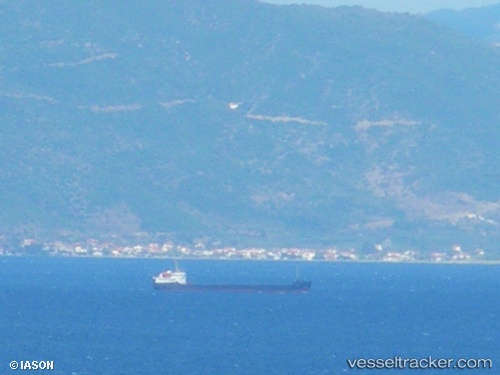
Vessel Modus IMO: 7942958, MMSI: 273430210 General Cargo Ship
UTC, 45.24291, 36.52722, course: 341, speed: 9.7
UTC, 45.24291, 36.52722, course: 341, speed: 9.7
2026-02-09 04:32:41 UTC, 45.71463, 36.71294, course: 316, speed: 8
Live AIS position:
UTC. 18 nm N of Kavkaz),
updated 2026-02-09 04:32:41 UTC.
Find the position of the vessel Modus on the map. The latter are known coordinates and path.
marine traffic ship tracker show on live map
The current position of vessel Modus is 45.71463 lat / 36.71294 lng. Updated: 2026-02-09 04:32:41 UTCDetails:
Last coordinates of the vessel:
UTC, 45.24291, 36.52722, course: 341, speed: 9.7UTC, 45.24291, 36.52722, course: 341, speed: 9.7
UTC, 45.24291, 36.52722, course: 341, speed: 9.7
2026-02-09 04:32:41 UTC, 45.71463, 36.71294, course: 316, speed: 8