 vesseltracker.com
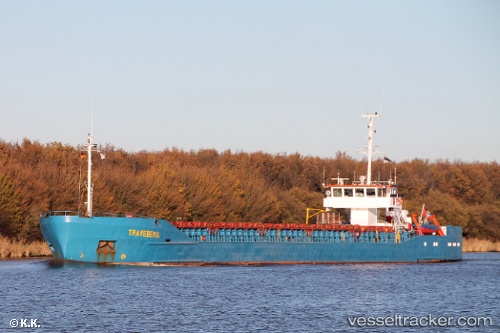
Vessel SARGAS IMO: 8104541, MMSI: 352002417 General Cargo
UTC, 45.15796, 29.83701, course: 223, speed: 0.1
UTC, 45.16602, 29.86762, course: 248, speed: 0.2
2026-02-23 16:50:32 UTC, 45.17121, 29.86843, course: 18, speed: 2.4
Live AIS position:
UTC. Near Sulina (Port et Zone Franche)),
updated 2026-02-23 16:50:32 UTC.
Find the position of the vessel SARGAS on the map. The latter are known coordinates and path.
marine traffic ship tracker show on live map
The current position of vessel SARGAS is 45.17121 lat / 29.86843 lng. Updated: 2026-02-23 16:50:32 UTCCurrently sailing under the flag of Panama
Details:
Last coordinates of the vessel:
UTC, 45.15828, 29.83664, course: 220, speed: 0UTC, 45.15796, 29.83701, course: 223, speed: 0.1
UTC, 45.16602, 29.86762, course: 248, speed: 0.2
2026-02-23 16:50:32 UTC, 45.17121, 29.86843, course: 18, speed: 2.4