 vesseltracker.com
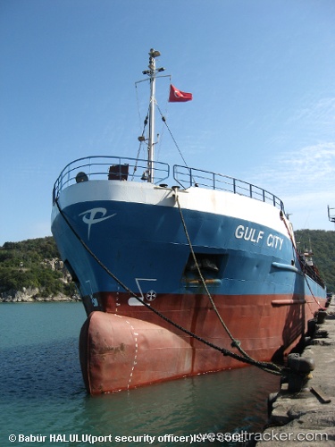
Vessel KALAMARIA IMO: 8104553, MMSI: 620841000 General Cargo Ship
Live AIS position:
UTC. Near Tripoli),
updated 2023-03-05 13:42:32 UTC.
Find the position of the vessel KALAMARIA on the map. The latter are known coordinates and path.
marine traffic ship tracker show on live map
The current position of vessel KALAMARIA is 34.45109 lat / 35.81979 lng. Updated: 2023-03-05 13:42:32 UTCCurrently sailing under the flag of Comoros
KALAMARIA built in 1981 year
Deadweight:
3608 tDetails:
Last coordinates of the vessel:
2023-03-05 13:42:32 UTC, 34.45109, 35.81979, course: 187, speed: 0