 vesseltracker.com
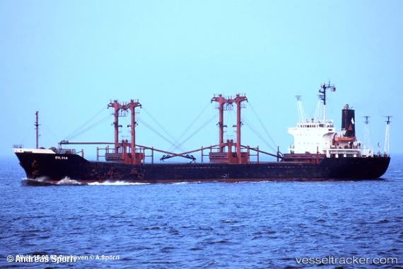
Vessel Mohammed Bey IMO: 8110411, MMSI: 312600000 General Cargo Ship
UTC, 45.19980, 29.87705, course: -1, speed: 7.7
UTC, 45.19980, 29.87705, course: -1, speed: 7.7
2026-02-06 17:38:09 UTC, 45.19980, 29.87705, course: -1, speed: 7.7
Live AIS position:
UTC. Near Sulina (Port et Zone Franche)),
updated 2026-02-06 17:38:09 UTC.
Find the position of the vessel Mohammed Bey on the map. The latter are known coordinates and path.
marine traffic ship tracker show on live map
The current position of vessel Mohammed Bey is 45.19980 lat / 29.87705 lng. Updated: 2026-02-06 17:38:09 UTCDetails:
Last coordinates of the vessel:
UTC, 45.05790, 29.97237, course: -1, speed: 6.3UTC, 45.19980, 29.87705, course: -1, speed: 7.7
UTC, 45.19980, 29.87705, course: -1, speed: 7.7
2026-02-06 17:38:09 UTC, 45.19980, 29.87705, course: -1, speed: 7.7