 vesseltracker.com
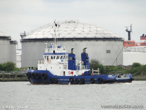
Vessel East Coast IMO: 8201090, MMSI: 367185680 Tug
UTC, 36.84132, -76.27059, course: 148, speed: 0
UTC, 36.84128, -76.27058, course: 151, speed: 0
2026-02-22 10:03:35 UTC, 36.84132, -76.27058, course: 148, speed: 0
Live AIS position:
UTC. Near Norfolk),
updated 2026-02-22 10:03:35 UTC.
Find the position of the vessel East Coast on the map. The latter are known coordinates and path.
marine traffic ship tracker show on live map
The current position of vessel East Coast is 36.84132 lat / -76.27058 lng. Updated: 2026-02-22 10:03:35 UTCCurrently sailing under the flag of USA
Details:
Last coordinates of the vessel:
UTC, 36.84131, -76.27056, course: 149, speed: 0UTC, 36.84132, -76.27059, course: 148, speed: 0
UTC, 36.84128, -76.27058, course: 151, speed: 0
2026-02-22 10:03:35 UTC, 36.84132, -76.27058, course: 148, speed: 0