 vesseltracker.com
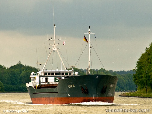
Vessel Lisa D IMO: 8205187, MMSI: 304559000 General Cargo Ship
UTC, 54.18539, 11.29989, course: 233, speed: 8.8
UTC, 54.07197, 11.07366, course: 224, speed: 9
2026-02-25 22:09:31 UTC, 53.88963, 10.77624, course: 284, speed: 0
Live AIS position:
UTC. Near Sereetz),
updated 2026-02-25 22:09:31 UTC.
Find the position of the vessel Lisa D on the map. The latter are known coordinates and path.
marine traffic ship tracker show on live map
The current position of vessel Lisa D is 53.88963 lat / 10.77624 lng. Updated: 2026-02-25 22:09:31 UTCCurrently sailing under the flag of Antigua Barbuda
Lisa D built in 1984 year
Deadweight:
1685 tDetails:
Last coordinates of the vessel:
UTC, 54.38451, 11.88774, course: 242, speed: 8.6UTC, 54.18539, 11.29989, course: 233, speed: 8.8
UTC, 54.07197, 11.07366, course: 224, speed: 9
2026-02-25 22:09:31 UTC, 53.88963, 10.77624, course: 284, speed: 0