 vesseltracker.com
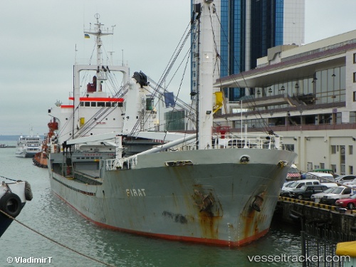
Vessel Firat IMO: 8310384, MMSI: 616884000 General Cargo Ship
UTC, 45.46887, 28.20971, course: 286, speed: 0
UTC, 45.46886, 28.20976, course: 286, speed: 0
2026-02-14 12:15:00 UTC, 45.46891, 28.20970, course: 286, speed: 0
Live AIS position:
UTC. Near Giurgiulesti),
updated 2026-02-14 12:15:00 UTC.
Find the position of the vessel Firat on the map. The latter are known coordinates and path.
marine traffic ship tracker show on live map
The current position of vessel Firat is 45.46891 lat / 28.20970 lng. Updated: 2026-02-14 12:15:00 UTCCurrently sailing under the flag of Comoros
Firat built in 1983 year
Deadweight:
6378 tDetails:
Last coordinates of the vessel:
UTC, 45.46890, 28.20970, course: 288, speed: 0UTC, 45.46887, 28.20971, course: 286, speed: 0
UTC, 45.46886, 28.20976, course: 286, speed: 0
2026-02-14 12:15:00 UTC, 45.46891, 28.20970, course: 286, speed: 0