 vesseltracker.com
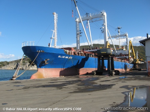
Vessel GRACE A IMO: 8403337, MMSI: 613003614 General Cargo Ship
UTC, 42.39970, -9.80134, course: 353, speed: 10.6
UTC, 42.82144, -9.78822, course: 351, speed: 10.4
2026-02-06 20:26:16 UTC, 42.82144, -9.78822, course: 351, speed: 10.4
Live AIS position:
UTC. 23 nm W of Finisterre),
updated 2026-02-06 20:26:16 UTC.
Find the position of the vessel GRACE A on the map. The latter are known coordinates and path.
marine traffic ship tracker show on live map
The current position of vessel GRACE A is 42.82144 lat / -9.78822 lng. Updated: 2026-02-06 20:26:16 UTCCurrently sailing under the flag of Cameroon
GRACE A built in 1984 year
Deadweight:
4755 tDetails:
Last coordinates of the vessel:
UTC, 41.99305, -9.80761, course: 359, speed: 11.1UTC, 42.39970, -9.80134, course: 353, speed: 10.6
UTC, 42.82144, -9.78822, course: 351, speed: 10.4
2026-02-06 20:26:16 UTC, 42.82144, -9.78822, course: 351, speed: 10.4