 vesseltracker.com
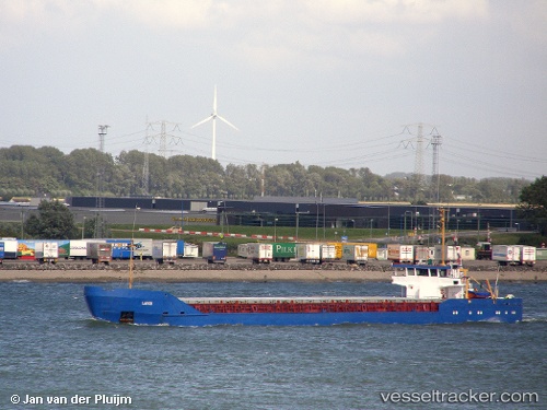
Vessel Gulf Stream IMO: 8415689, MMSI: 341797000 Multi Purpose Carrier
UTC, 31.25352, 32.30208, course: -1, speed: 0
UTC, 31.25351, 32.30205, course: -1, speed: 0
2026-02-14 13:31:55 UTC, 31.25351, 32.30206, course: -1, speed: 0
Live AIS position:
UTC. Near Port Said West),
updated 2026-02-14 13:31:55 UTC.
Find the position of the vessel Gulf Stream on the map. The latter are known coordinates and path.
marine traffic ship tracker show on live map
The current position of vessel Gulf Stream is 31.25351 lat / 32.30206 lng. Updated: 2026-02-14 13:31:55 UTCCurrently sailing under the flag of St Kitts Nevis
Gulf Stream built in 1984 year
Deadweight:
3500 tDetails:
Last coordinates of the vessel:
UTC, 31.25353, 32.30203, course: -1, speed: 0UTC, 31.25352, 32.30208, course: -1, speed: 0
UTC, 31.25351, 32.30205, course: -1, speed: 0
2026-02-14 13:31:55 UTC, 31.25351, 32.30206, course: -1, speed: 0