 vesseltracker.com
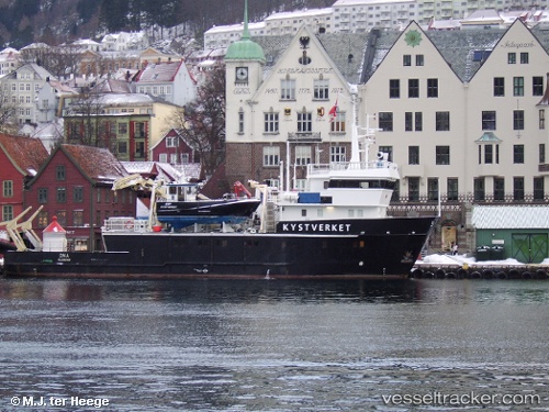
Vessel Ona IMO: 8417663, MMSI: 257261500 Tug
UTC, 68.79775, 16.54611, course: 219, speed: 0
UTC, 68.79774, 16.54628, course: 219, speed: 0
2026-02-12 12:19:43 UTC, 68.79779, 16.54606, course: 220, speed: 0
Live AIS position:
UTC. Near Harstad),
updated 2026-02-12 12:19:43 UTC.
Find the position of the vessel Ona on the map. The latter are known coordinates and path.
marine traffic ship tracker show on live map
The current position of vessel Ona is 68.79779 lat / 16.54606 lng. Updated: 2026-02-12 12:19:43 UTCCurrently sailing under the flag of Norway
Ona built in 1985 year
Deadweight:
190 tDetails:
Last coordinates of the vessel:
UTC, 68.79773, 16.54613, course: 218, speed: 0UTC, 68.79775, 16.54611, course: 219, speed: 0
UTC, 68.79774, 16.54628, course: 219, speed: 0
2026-02-12 12:19:43 UTC, 68.79779, 16.54606, course: 220, speed: 0