 vesseltracker.com
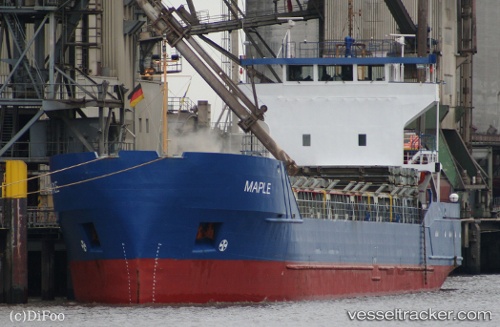
Vessel ZAMZAM A IMO: 8509844, MMSI: 341379000 General Cargo Ship
UTC, 31.43753, 32.05494, course: 304, speed: 0
UTC, 31.43667, 32.05500, course: -1, speed: 0
2026-02-25 03:46:09 UTC, 31.43780, 32.05512, course: -1, speed: 0
Live AIS position:
UTC. 12 nm E of Dumyat (Damietta)),
updated 2026-02-25 03:46:09 UTC.
Find the position of the vessel ZAMZAM A on the map. The latter are known coordinates and path.
marine traffic ship tracker show on live map
The current position of vessel ZAMZAM A is 31.43780 lat / 32.05512 lng. Updated: 2026-02-25 03:46:09 UTCCurrently sailing under the flag of St.Kitts and Nevis
ZAMZAM A built in 1985 year
Deadweight:
3747 tDetails:
Last coordinates of the vessel:
UTC, 31.43667, 32.05333, course: -1, speed: 0UTC, 31.43753, 32.05494, course: 304, speed: 0
UTC, 31.43667, 32.05500, course: -1, speed: 0
2026-02-25 03:46:09 UTC, 31.43780, 32.05512, course: -1, speed: 0