 vesseltracker.com
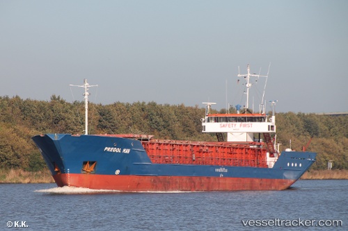
Vessel Pregol Hav IMO: 8519239, MMSI: 305966000 Multi Purpose Carrier
UTC, 52.56236, 1.88818, course: 10, speed: 7.2
UTC, 52.71920, 1.78864, course: 331, speed: 5.3
2026-02-05 21:36:52 UTC, 52.86318, 1.65692, course: 327, speed: 4.9
Live AIS position:
UTC. Near Hedenham),
updated 2026-02-05 21:36:52 UTC.
Find the position of the vessel Pregol Hav on the map. The latter are known coordinates and path.
marine traffic ship tracker show on live map
The current position of vessel Pregol Hav is 52.86318 lat / 1.65692 lng. Updated: 2026-02-05 21:36:52 UTCCurrently sailing under the flag of Antigua Barbuda
Pregol Hav built in 1985 year
Deadweight:
2291 tDetails:
Last coordinates of the vessel:
UTC, 52.25105, 1.83671, course: 3, speed: 9.4UTC, 52.56236, 1.88818, course: 10, speed: 7.2
UTC, 52.71920, 1.78864, course: 331, speed: 5.3
2026-02-05 21:36:52 UTC, 52.86318, 1.65692, course: 327, speed: 4.9