 vesseltracker.com
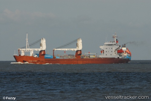
Vessel Kapitan Klimin IMO: 8520214, MMSI: 273352220 General Cargo Ship
UTC, 35.01769, 122.92813, course: 114, speed: 10.9
UTC, 34.89678, 123.25848, course: 109, speed: 10.5
2026-01-26 17:38:35 UTC, 34.89678, 123.25848, course: 109, speed: 10.5
Live AIS position:
UTC. 96 nm W of Hongdo),
updated 2026-01-26 17:38:35 UTC.
Find the position of the vessel Kapitan Klimin on the map. The latter are known coordinates and path.
marine traffic ship tracker show on live map
The current position of vessel Kapitan Klimin is 34.89678 lat / 123.25848 lng. Updated: 2026-01-26 17:38:35 UTCCurrently sailing under the flag of Russia
Kapitan Klimin built in 1986 year
Deadweight:
9656 tDetails:
Last coordinates of the vessel:
UTC, 35.01769, 122.92813, course: 114, speed: 10.9UTC, 35.01769, 122.92813, course: 114, speed: 10.9
UTC, 34.89678, 123.25848, course: 109, speed: 10.5
2026-01-26 17:38:35 UTC, 34.89678, 123.25848, course: 109, speed: 10.5