 vesseltracker.com
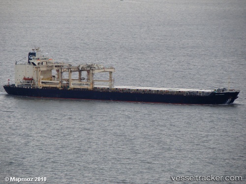
Vessel Thai Harvest IMO: 8606305, MMSI: 538004544 General Cargo Ship
UTC, -79.03162, 108.84216, course: 52, speed: 86.4
UTC, -51.02590, 159.48918, course: 153, speed: 83.5
2026-02-13 04:22:27 UTC, -51.02590, 159.48918, course: 153, speed: 83.5
Live AIS position:
UTC. 209 nm N of Macquarie Island),
updated 2026-02-13 04:22:27 UTC.
Find the position of the vessel Thai Harvest on the map. The latter are known coordinates and path.
marine traffic ship tracker show on live map
The current position of vessel Thai Harvest is -51.02590 lat / 159.48918 lng. Updated: 2026-02-13 04:22:27 UTCDetails:
Last coordinates of the vessel:
UTC, -79.03162, 108.84216, course: 52, speed: 86.4UTC, -79.03162, 108.84216, course: 52, speed: 86.4
UTC, -51.02590, 159.48918, course: 153, speed: 83.5
2026-02-13 04:22:27 UTC, -51.02590, 159.48918, course: 153, speed: 83.5