 vesseltracker.com
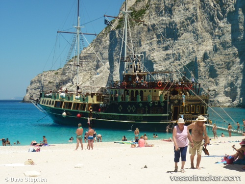
Vessel Menia Maria I IMO: 8647701, MMSI: 237557600 Passenger Ship
UTC, 37.96081, 23.57239, course: -1, speed: 0
UTC, 37.96079, 23.57239, course: -1, speed: 0
2026-03-02 03:41:36 UTC, 37.96080, 23.57237, course: -1, speed: 0
Live AIS position:
UTC. Near PERAMA),
updated 2026-03-02 03:41:36 UTC.
Find the position of the vessel Menia Maria I on the map. The latter are known coordinates and path.
marine traffic ship tracker show on live map
The current position of vessel Menia Maria I is 37.96080 lat / 23.57237 lng. Updated: 2026-03-02 03:41:36 UTCDetails:
Last coordinates of the vessel:
UTC, 37.96079, 23.57236, course: -1, speed: 0UTC, 37.96081, 23.57239, course: -1, speed: 0
UTC, 37.96079, 23.57239, course: -1, speed: 0
2026-03-02 03:41:36 UTC, 37.96080, 23.57237, course: -1, speed: 0