 vesseltracker.com
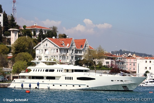
Vessel QUEEN MARE IMO: 8662610, MMSI: 518998026 Houseboat
UTC, 37.96209, 23.57237, course: 9, speed: 0
UTC, 37.96209, 23.57237, course: 9, speed: 0
2026-02-12 05:36:17 UTC, 37.96209, 23.57237, course: 9, speed: 0
Live AIS position:
UTC. Near PERAMA),
updated 2026-02-12 05:36:17 UTC.
Find the position of the vessel QUEEN MARE on the map. The latter are known coordinates and path.
marine traffic ship tracker show on live map
The current position of vessel QUEEN MARE is 37.96209 lat / 23.57237 lng. Updated: 2026-02-12 05:36:17 UTCCurrently sailing under the flag of Cook islands
QUEEN MARE built in 2012 year
Deadweight:
0 tDetails:
Last coordinates of the vessel:
UTC, 37.96209, 23.57235, course: -1, speed: 0.1UTC, 37.96209, 23.57237, course: 9, speed: 0
UTC, 37.96209, 23.57237, course: 9, speed: 0
2026-02-12 05:36:17 UTC, 37.96209, 23.57237, course: 9, speed: 0