 vesseltracker.com
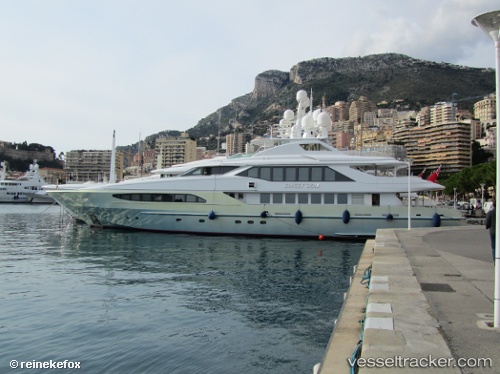
Vessel Kinglouis IMO: 8745797, MMSI: 249897000 Service Ship
UTC, 39.64833, 19.85000, course: -1, speed: 0
2026-02-26 08:15:04 UTC, 39.64833, 19.85000, course: -1, speed: 0
Live AIS position:
UTC. Near GOUVIA KONTOKALI),
updated 2026-02-26 08:15:04 UTC.
Find the position of the vessel Kinglouis on the map. The latter are known coordinates and path.
marine traffic ship tracker show on live map
The current position of vessel Kinglouis is 39.64833 lat / 19.85000 lng. Updated: 2026-02-26 08:15:04 UTCCurrently sailing under the flag of Malta
Kinglouis built in 2003 year
Deadweight:
225 tDetails:
Last coordinates of the vessel:
UTC, 39.64833, 19.85000, course: -1, speed: 0UTC, 39.64833, 19.85000, course: -1, speed: 0
2026-02-26 08:15:04 UTC, 39.64833, 19.85000, course: -1, speed: 0