 vesseltracker.com
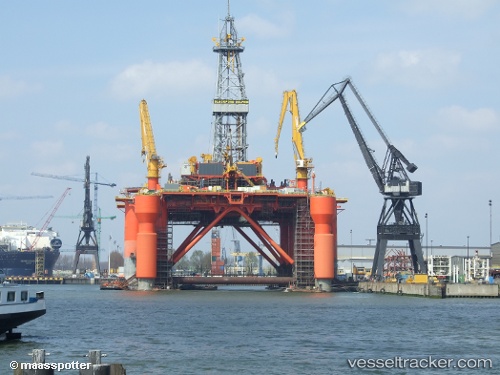
Vessel 'BLACKFORD DOLPHIN' IMO: 8753122, MMSI: 310803000
UTC, 13.00522, 93.14593, course: 315, speed: 0
UTC, 13.00522, 93.14593, course: 315, speed: 0
2026-01-18 03:03:35 UTC, 13.00522, 93.14593, course: 315, speed: 0
Live AIS position:
UTC. 83 nm N of Port Blair),
updated 2026-01-18 03:03:35 UTC.
Find the position of the vessel 'BLACKFORD DOLPHIN' on the map. The latter are known coordinates and path.
marine traffic ship tracker show on live map
The current position of vessel 'BLACKFORD DOLPHIN' is 13.00522 lat / 93.14593 lng. Updated: 2026-01-18 03:03:35 UTCDetails:
Last coordinates of the vessel:
UTC, 13.00522, 93.14593, course: 315, speed: 0UTC, 13.00522, 93.14593, course: 315, speed: 0
UTC, 13.00522, 93.14593, course: 315, speed: 0
2026-01-18 03:03:35 UTC, 13.00522, 93.14593, course: 315, speed: 0