 vesseltracker.com
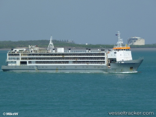
Vessel Hannoud o IMO: 8813037, MMSI: 667001840 Livestock Carrier
UTC, 34.31350, 33.35825, course: 276, speed: 9.6
UTC, 34.38797, 33.07810, course: 278, speed: 9.8
2026-02-13 07:41:12 UTC, 34.46301, 32.76042, course: 287, speed: 8.1
Live AIS position:
UTC. 12 nm SW of Akrotiri),
updated 2026-02-13 07:41:12 UTC.
Find the position of the vessel Hannoud o on the map. The latter are known coordinates and path.
marine traffic ship tracker show on live map
The current position of vessel Hannoud o is 34.46301 lat / 32.76042 lng. Updated: 2026-02-13 07:41:12 UTCDetails:
Last coordinates of the vessel:
UTC, 34.20891, 33.79142, course: 280, speed: 9.8UTC, 34.31350, 33.35825, course: 276, speed: 9.6
UTC, 34.38797, 33.07810, course: 278, speed: 9.8
2026-02-13 07:41:12 UTC, 34.46301, 32.76042, course: 287, speed: 8.1