 vesseltracker.com
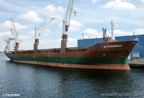
Vessel TIKSY IMO: 8821802, MMSI: 273396870 General Cargo
UTC, 56.41864, 12.28696, course: 157, speed: 11.3
UTC, 56.11725, 12.51490, course: 128, speed: 7.9
2026-01-25 14:19:52 UTC, 55.70993, 12.67985, course: 169, speed: 9.4
Live AIS position:
UTC. Near Copenhagen),
updated 2026-01-25 14:19:52 UTC.
Find the position of the vessel TIKSY on the map. The latter are known coordinates and path.
marine traffic ship tracker show on live map
The current position of vessel TIKSY is 55.70993 lat / 12.67985 lng. Updated: 2026-01-25 14:19:52 UTCCurrently sailing under the flag of Russia
TIKSY built in 1990 year
Deadweight:
12239 tDetails:
Last coordinates of the vessel:
UTC, 56.70321, 12.14935, course: 162, speed: 10.1UTC, 56.41864, 12.28696, course: 157, speed: 11.3
UTC, 56.11725, 12.51490, course: 128, speed: 7.9
2026-01-25 14:19:52 UTC, 55.70993, 12.67985, course: 169, speed: 9.4