 vesseltracker.com
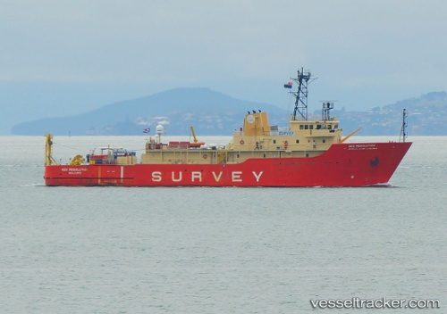
Vessel Geo Resolution IMO: 8835243, MMSI: 538005923 Research Vessel
UTC, 20.68081, 61.25206, course: 331, speed: 7
UTC, 20.91606, 61.11153, course: 329, speed: 7
2026-02-25 23:39:13 UTC, 21.10660, 60.99548, course: 331, speed: 7
Live AIS position:
UTC. 120 nm SE of SUR),
updated 2026-02-25 23:39:13 UTC.
Find the position of the vessel Geo Resolution on the map. The latter are known coordinates and path.
marine traffic ship tracker show on live map
The current position of vessel Geo Resolution is 21.10660 lat / 60.99548 lng. Updated: 2026-02-25 23:39:13 UTCDetails:
Last coordinates of the vessel:
UTC, 20.50704, 61.35721, course: 328, speed: 6.5UTC, 20.68081, 61.25206, course: 331, speed: 7
UTC, 20.91606, 61.11153, course: 329, speed: 7
2026-02-25 23:39:13 UTC, 21.10660, 60.99548, course: 331, speed: 7