 vesseltracker.com
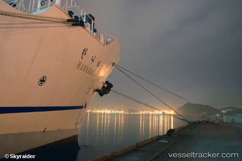
Vessel Hannara IMO: 8874196, MMSI: 440022000 Training Ship
UTC, 45.79217, -129.73450, course: 290, speed: 16.3
UTC, 45.94875, -130.33682, course: 303, speed: 16.9
2026-02-13 12:18:03 UTC, 46.32450, -131.14301, course: 303, speed: 17
Live AIS position:
UTC. 187 nm E of Primorsky Krai),
updated 2026-02-13 12:18:03 UTC.
Find the position of the vessel Hannara on the map. The latter are known coordinates and path.
marine traffic ship tracker show on live map
The current position of vessel Hannara is 46.32450 lat / -131.14301 lng. Updated: 2026-02-13 12:18:03 UTCDetails:
Last coordinates of the vessel:
UTC, 45.60911, -128.98508, course: 289, speed: 18UTC, 45.79217, -129.73450, course: 290, speed: 16.3
UTC, 45.94875, -130.33682, course: 303, speed: 16.9
2026-02-13 12:18:03 UTC, 46.32450, -131.14301, course: 303, speed: 17