 vesseltracker.com
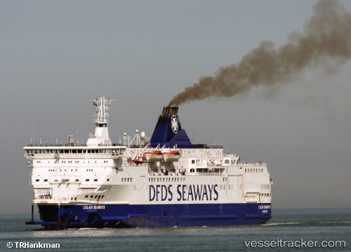
Vessel ISLE OF INNISFREE IMO: 8908466, MMSI: 210321000 Passenger/Ro-Ro Ship (vehicles)
UTC, 51.69839, -4.95097, course: 87, speed: 0
UTC, 51.69836, -4.95096, course: -1, speed: 0
2026-01-20 03:47:59 UTC, 51.87909, -5.64569, course: 315, speed: 19.7
Live AIS position:
UTC. 14 nm W of Saint David's),
updated 2026-01-20 03:47:59 UTC.
Find the position of the vessel ISLE OF INNISFREE on the map. The latter are known coordinates and path.
marine traffic ship tracker show on live map
The current position of vessel ISLE OF INNISFREE is 51.87909 lat / -5.64569 lng. Updated: 2026-01-20 03:47:59 UTCCurrently sailing under the flag of Cyprus
ISLE OF INNISFREE built in 1992 year
Deadweight:
3832 tDetails:
Last coordinates of the vessel:
UTC, 51.69838, -4.95096, course: 88, speed: 0UTC, 51.69839, -4.95097, course: 87, speed: 0
UTC, 51.69836, -4.95096, course: -1, speed: 0
2026-01-20 03:47:59 UTC, 51.87909, -5.64569, course: 315, speed: 19.7