 vesseltracker.com
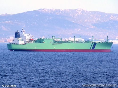
Vessel Miura IMO: 8910902, MMSI: 567591000 Lpg Tanker
UTC, 20.91826, 87.07829, course: 124, speed: 0
UTC, 20.91594, 87.07911, course: 42, speed: 0.3
2026-01-29 16:14:00 UTC, 20.91679, 87.08205, course: 304, speed: 0
Live AIS position:
UTC. Near DHAMRA),
updated 2026-01-29 16:14:00 UTC.
Find the position of the vessel Miura on the map. The latter are known coordinates and path.
marine traffic ship tracker show on live map
The current position of vessel Miura is 20.91679 lat / 87.08205 lng. Updated: 2026-01-29 16:14:00 UTCDetails:
Last coordinates of the vessel:
UTC, 20.91845, 87.07829, course: 132, speed: 0UTC, 20.91826, 87.07829, course: 124, speed: 0
UTC, 20.91594, 87.07911, course: 42, speed: 0.3
2026-01-29 16:14:00 UTC, 20.91679, 87.08205, course: 304, speed: 0