 vesseltracker.com
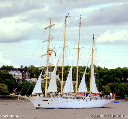
Vessel Star Clipper IMO: 8915445, MMSI: 248786000 Cruise Ship
UTC, 12.71318, -61.40025, course: 162, speed: 2.8
UTC, 12.63147, -61.40910, course: 57, speed: 4.1
2026-02-27 13:35:18 UTC, 12.63461, -61.40305, course: 60, speed: 0.1
Live AIS position:
UTC. Near Canouan Island),
updated 2026-02-27 13:35:18 UTC.
Find the position of the vessel Star Clipper on the map. The latter are known coordinates and path.
marine traffic ship tracker show on live map
The current position of vessel Star Clipper is 12.63461 lat / -61.40305 lng. Updated: 2026-02-27 13:35:18 UTCDetails:
Last coordinates of the vessel:
UTC, 12.77443, -61.40147, course: 175, speed: 4UTC, 12.71318, -61.40025, course: 162, speed: 2.8
UTC, 12.63147, -61.40910, course: 57, speed: 4.1
2026-02-27 13:35:18 UTC, 12.63461, -61.40305, course: 60, speed: 0.1