 vesseltracker.com
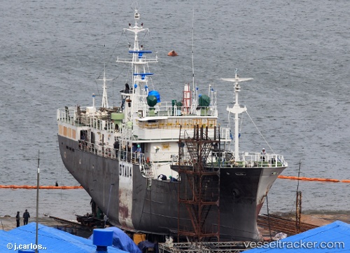
Vessel Panalox 503 IMO: 8916372, MMSI: 440517000 Fishing Vessel
UTC, 13.11814, -165.50861, course: 86, speed: 4.1
UTC, 13.12813, -165.38004, course: 92, speed: 4.4
2026-01-30 15:47:49 UTC, 12.98787, -165.33347, course: 189, speed: 9
Live AIS position:
UTC. 331 nm SE of Johnston Island),
updated 2026-01-30 15:47:49 UTC.
Find the position of the vessel Panalox 503 on the map. The latter are known coordinates and path.
marine traffic ship tracker show on live map
The current position of vessel Panalox 503 is 12.98787 lat / -165.33347 lng. Updated: 2026-01-30 15:47:49 UTCDetails:
Last coordinates of the vessel:
UTC, 13.10899, -165.66292, course: 92, speed: 3.5UTC, 13.11814, -165.50861, course: 86, speed: 4.1
UTC, 13.12813, -165.38004, course: 92, speed: 4.4
2026-01-30 15:47:49 UTC, 12.98787, -165.33347, course: 189, speed: 9