 vesseltracker.com
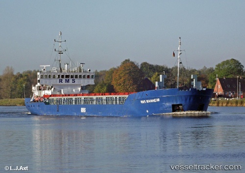
Vessel Rms Wanheim IMO: 8920268, MMSI: 636017466 Multi Purpose Carrier
UTC, 1.28941, 104.23104, course: 260, speed: 7.1
UTC, 0.60578, -171.75365, course: -1, speed: 3.5
2026-01-31 06:17:49 UTC, 0.60578, -171.75365, course: -1, speed: 3.5
Live AIS position:
UTC. 205 nm N of Canton),
updated 2026-01-31 06:17:49 UTC.
Find the position of the vessel Rms Wanheim on the map. The latter are known coordinates and path.
marine traffic ship tracker show on live map
The current position of vessel Rms Wanheim is 0.60578 lat / -171.75365 lng. Updated: 2026-01-31 06:17:49 UTCCurrently sailing under the flag of Liberia
Rms Wanheim built in 1990 year
Deadweight:
2620 tDetails:
Last coordinates of the vessel:
UTC, 1.28941, 104.23104, course: 260, speed: 7.1UTC, 1.28941, 104.23104, course: 260, speed: 7.1
UTC, 0.60578, -171.75365, course: -1, speed: 3.5
2026-01-31 06:17:49 UTC, 0.60578, -171.75365, course: -1, speed: 3.5