 vesseltracker.com
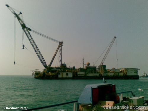
Vessel PMS 12 IMO: 8928777, MMSI: 622121561 Towing > 200m OR Breadth > 25m
UTC, 28.34511, 33.25504, course: -1, speed: 0
UTC, 28.34511, 33.25504, course: -1, speed: 0
2026-03-02 07:35:34 UTC, 28.34511, 33.25504, course: -1, speed: 0
Live AIS position:
UTC. Near Ras Gharib),
updated 2026-03-02 07:35:34 UTC.
Find the position of the vessel PMS 12 on the map. The latter are known coordinates and path.
marine traffic ship tracker show on live map
The current position of vessel PMS 12 is 28.34511 lat / 33.25504 lng. Updated: 2026-03-02 07:35:34 UTCCurrently sailing under the flag of Egypt
Details:
Last coordinates of the vessel:
UTC, 28.34514, 33.25503, course: -1, speed: 0UTC, 28.34511, 33.25504, course: -1, speed: 0
UTC, 28.34511, 33.25504, course: -1, speed: 0
2026-03-02 07:35:34 UTC, 28.34511, 33.25504, course: -1, speed: 0