 vesseltracker.com
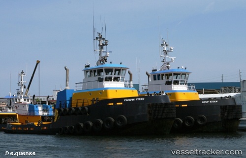
Vessel Gulf Titan IMO: 8967589, MMSI: 369514000 Tug
UTC, 50.08485, -125.27028, course: 130, speed: 12
UTC, 49.79684, -124.86352, course: 125, speed: 10.4
2026-02-14 13:43:12 UTC, 49.67829, -124.61193, course: 125, speed: 10.1
Live AIS position:
UTC. 11 nm NE of Denman Island),
updated 2026-02-14 13:43:12 UTC.
Find the position of the vessel Gulf Titan on the map. The latter are known coordinates and path.
marine traffic ship tracker show on live map
The current position of vessel Gulf Titan is 49.67829 lat / -124.61193 lng. Updated: 2026-02-14 13:43:12 UTCCurrently sailing under the flag of USA
Details:
Last coordinates of the vessel:
UTC, 50.26749, -125.39487, course: 165, speed: 5.6UTC, 50.08485, -125.27028, course: 130, speed: 12
UTC, 49.79684, -124.86352, course: 125, speed: 10.4
2026-02-14 13:43:12 UTC, 49.67829, -124.61193, course: 125, speed: 10.1