 vesseltracker.com
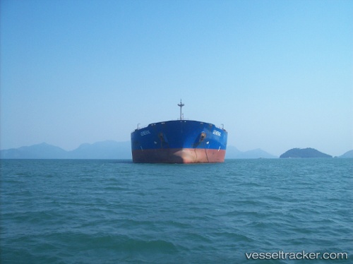
Vessel Atlantic Merchant IMO: 9002673, MMSI: 372075000 Ore Oil Carrier
UTC, 28.02900, 48.74163, course: -1, speed: 0
UTC, 28.00595, 48.76948, course: -1, speed: 0.3
2026-02-13 14:09:45 UTC, 28.00597, 48.76943, course: -1, speed: 0.3
Live AIS position:
UTC. 10 nm S of Bandar Al Mishab),
updated 2026-02-13 14:09:45 UTC.
Find the position of the vessel Atlantic Merchant on the map. The latter are known coordinates and path.
marine traffic ship tracker show on live map
The current position of vessel Atlantic Merchant is 28.00597 lat / 48.76943 lng. Updated: 2026-02-13 14:09:45 UTCDetails:
Last coordinates of the vessel:
UTC, 28.02894, 48.74169, course: -1, speed: 0.2UTC, 28.02900, 48.74163, course: -1, speed: 0
UTC, 28.00595, 48.76948, course: -1, speed: 0.3
2026-02-13 14:09:45 UTC, 28.00597, 48.76943, course: -1, speed: 0.3