 vesseltracker.com
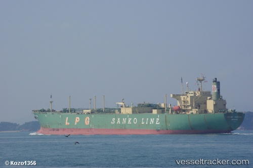
Vessel XI WANG MU IMO: 9007386, MMSI: 307080000 Tanker
UTC, 26.16702, 56.72328, course: 9, speed: 9.1
UTC, 26.41687, 56.70230, course: -1, speed: 8.2
2026-02-27 14:33:00 UTC, 26.59857, 56.40864, course: -1, speed: 7.8
Live AIS position:
UTC. Near Quoin Island),
updated 2026-02-27 14:33:00 UTC.
Find the position of the vessel XI WANG MU on the map. The latter are known coordinates and path.
marine traffic ship tracker show on live map
The current position of vessel XI WANG MU is 26.59857 lat / 56.40864 lng. Updated: 2026-02-27 14:33:00 UTCCurrently sailing under the flag of Aruba
Details:
Last coordinates of the vessel:
UTC, 25.85724, 56.72435, course: -1, speed: 8.6UTC, 26.16702, 56.72328, course: 9, speed: 9.1
UTC, 26.41687, 56.70230, course: -1, speed: 8.2
2026-02-27 14:33:00 UTC, 26.59857, 56.40864, course: -1, speed: 7.8