 vesseltracker.com
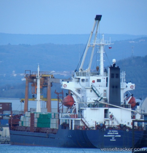
Vessel Princess Amnah IMO: 9008067, MMSI: 667001777 General Cargo Ship
UTC, 34.60082, 33.53845, course: 73, speed: 8.2
UTC, 34.60082, 33.53845, course: 73, speed: 8.2
2026-01-26 07:59:19 UTC, 34.60082, 33.53845, course: 73, speed: 8.2
Live AIS position:
UTC. 13 nm SE of Zyyi),
updated 2026-01-26 07:59:19 UTC.
Find the position of the vessel Princess Amnah on the map. The latter are known coordinates and path.
marine traffic ship tracker show on live map
The current position of vessel Princess Amnah is 34.60082 lat / 33.53845 lng. Updated: 2026-01-26 07:59:19 UTCDetails:
Last coordinates of the vessel:
UTC, 34.51138, 33.12864, course: 73, speed: 8UTC, 34.60082, 33.53845, course: 73, speed: 8.2
UTC, 34.60082, 33.53845, course: 73, speed: 8.2
2026-01-26 07:59:19 UTC, 34.60082, 33.53845, course: 73, speed: 8.2