 vesseltracker.com
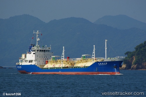
Vessel Pilatus 42 IMO: 9009994, MMSI: 567000734 Lpg Tanker
UTC, 12.95866, 100.76847, course: 225, speed: 11.1
UTC, 12.57236, 100.89497, course: 139, speed: 11.3
2026-01-29 03:51:50 UTC, 12.60644, 101.12957, course: 177, speed: 0
Live AIS position:
UTC. Near Map Ta Phut),
updated 2026-01-29 03:51:50 UTC.
Find the position of the vessel Pilatus 42 on the map. The latter are known coordinates and path.
marine traffic ship tracker show on live map
The current position of vessel Pilatus 42 is 12.60644 lat / 101.12957 lng. Updated: 2026-01-29 03:51:50 UTCDetails:
Last coordinates of the vessel:
UTC, 13.16707, 100.86628, course: 272, speed: 11.1UTC, 12.95866, 100.76847, course: 225, speed: 11.1
UTC, 12.57236, 100.89497, course: 139, speed: 11.3
2026-01-29 03:51:50 UTC, 12.60644, 101.12957, course: 177, speed: 0