 vesseltracker.com
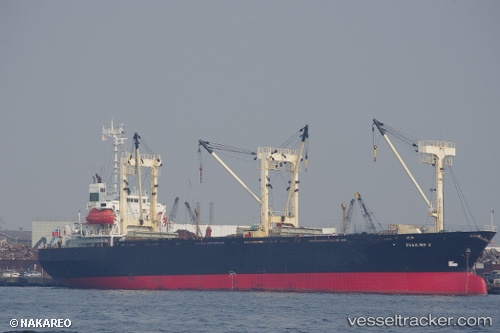
Vessel Khaled A IMO: 9010046, MMSI: 671025100 General Cargo Ship
UTC, -3.07833, 41.45667, course: -1, speed: 8
UTC, -3.28833, 41.24833, course: -1, speed: 6
2026-02-25 15:43:00 UTC, -3.40667, 41.13833, course: -1, speed: 6
Live AIS position:
UTC. 78 nm E of Kilifi),
updated 2026-02-25 15:43:00 UTC.
Find the position of the vessel Khaled A on the map. The latter are known coordinates and path.
marine traffic ship tracker show on live map
The current position of vessel Khaled A is -3.40667 lat / 41.13833 lng. Updated: 2026-02-25 15:43:00 UTCDetails:
Last coordinates of the vessel:
UTC, -2.79833, 41.72167, course: -1, speed: 8UTC, -3.07833, 41.45667, course: -1, speed: 8
UTC, -3.28833, 41.24833, course: -1, speed: 6
2026-02-25 15:43:00 UTC, -3.40667, 41.13833, course: -1, speed: 6