 vesseltracker.com
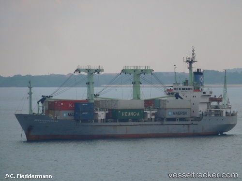
Vessel Meratus Sabang IMO: 9018311, MMSI: 525025058 General Cargo Ship
UTC, -7.64833, 116.59667, course: -1, speed: 4
UTC, -7.71061, 116.48137, course: 248, speed: 4.4
2026-02-14 06:01:23 UTC, -7.78667, 116.34167, course: -1, speed: 4
Live AIS position:
UTC. 46 nm NW of KAHYANGAN),
updated 2026-02-14 06:01:23 UTC.
Find the position of the vessel Meratus Sabang on the map. The latter are known coordinates and path.
marine traffic ship tracker show on live map
The current position of vessel Meratus Sabang is -7.78667 lat / 116.34167 lng. Updated: 2026-02-14 06:01:23 UTCDetails:
Last coordinates of the vessel:
UTC, -7.56833, 116.73833, course: -1, speed: 3UTC, -7.64833, 116.59667, course: -1, speed: 4
UTC, -7.71061, 116.48137, course: 248, speed: 4.4
2026-02-14 06:01:23 UTC, -7.78667, 116.34167, course: -1, speed: 4