 vesseltracker.com
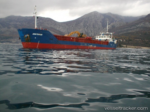
Vessel BOZAT IMO: 9030462, MMSI: 577582000 General Cargo
UTC, 44.83833, 13.65167, course: -1, speed: 7
UTC, 44.73333, 13.85833, course: -1, speed: 8
2026-02-25 21:51:05 UTC, 44.94190, 14.10054, course: 0, speed: 1.3
Live AIS position:
UTC. Near Tunarica),
updated 2026-02-25 21:51:05 UTC.
Find the position of the vessel BOZAT on the map. The latter are known coordinates and path.
marine traffic ship tracker show on live map
The current position of vessel BOZAT is 44.94190 lat / 14.10054 lng. Updated: 2026-02-25 21:51:05 UTCCurrently sailing under the flag of Vanuatu
Details:
Last coordinates of the vessel:
UTC, 44.92167, 13.28333, course: -1, speed: 8UTC, 44.83833, 13.65167, course: -1, speed: 7
UTC, 44.73333, 13.85833, course: -1, speed: 8
2026-02-25 21:51:05 UTC, 44.94190, 14.10054, course: 0, speed: 1.3