 vesseltracker.com
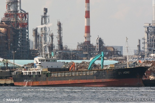
Vessel Zi Hong IMO: 9036404, MMSI: 371141000 General Cargo Ship
UTC, 6.89833, 116.49833, course: -1, speed: 14
UTC, 6.56333, 116.32333, course: -1, speed: 14
2026-02-08 11:53:03 UTC, 6.26667, 116.09833, course: -1, speed: 9
Live AIS position:
UTC. 16 nm N of Kota Kinabalu),
updated 2026-02-08 11:53:03 UTC.
Find the position of the vessel Zi Hong on the map. The latter are known coordinates and path.
marine traffic ship tracker show on live map
The current position of vessel Zi Hong is 6.26667 lat / 116.09833 lng. Updated: 2026-02-08 11:53:03 UTCDetails:
Last coordinates of the vessel:
UTC, 7.50500, 116.88333, course: -1, speed: 16UTC, 6.89833, 116.49833, course: -1, speed: 14
UTC, 6.56333, 116.32333, course: -1, speed: 14
2026-02-08 11:53:03 UTC, 6.26667, 116.09833, course: -1, speed: 9