 vesseltracker.com
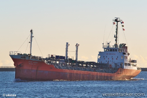
Vessel Sto Rose IMO: 9054626, MMSI: 440141000 Chemical Oil Products Tanker
UTC, 35.77741, 121.00708, course: 35, speed: 0.1
UTC, 35.77704, 121.00813, course: 17, speed: 0.4
2026-02-15 03:57:29 UTC, 35.77730, 121.00664, course: 38, speed: 0.2
Live AIS position:
UTC. 37 nm S of Nudao),
updated 2026-02-15 03:57:29 UTC.
Find the position of the vessel Sto Rose on the map. The latter are known coordinates and path.
marine traffic ship tracker show on live map
The current position of vessel Sto Rose is 35.77730 lat / 121.00664 lng. Updated: 2026-02-15 03:57:29 UTCDetails:
Last coordinates of the vessel:
UTC, 35.77808, 121.00728, course: 38, speed: 0.1UTC, 35.77741, 121.00708, course: 35, speed: 0.1
UTC, 35.77704, 121.00813, course: 17, speed: 0.4
2026-02-15 03:57:29 UTC, 35.77730, 121.00664, course: 38, speed: 0.2