 vesseltracker.com
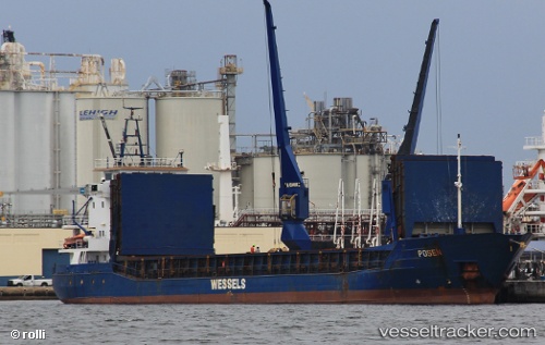
Vessel GULF RAIN IMO: 9056052, MMSI: 341643000 General Cargo
UTC, 19.90469, -22.75736, course: 224, speed: 7.1
UTC, 19.79986, -22.83809, course: 212, speed: 6.8
2026-03-06 08:08:18 UTC, 19.53311, -23.03119, course: 218, speed: 7.1
Live Vessel GULF RAIN Analytics (details, animations, etc.)
Live AIS position: UTC. 167 nm N of Ilha do Sal), updated 2026-03-06 08:08:18 UTC.Find the position of the vessel GULF RAIN on the map. The latter are known coordinates and path.
marine traffic ship tracker show on live map
The current position of vessel GULF RAIN is 19.53311 lat / -23.03119 lng. Updated: 2026-03-06 08:08:18 UTCCurrently sailing under the flag of Saint Kitts and Nevis
Details:
Last coordinates of the vessel:
UTC, 20.19476, -22.53335, course: 209, speed: 6.1UTC, 19.90469, -22.75736, course: 224, speed: 7.1
UTC, 19.79986, -22.83809, course: 212, speed: 6.8
2026-03-06 08:08:18 UTC, 19.53311, -23.03119, course: 218, speed: 7.1