 vesseltracker.com
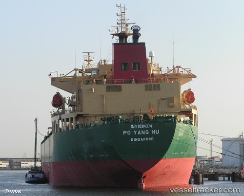
Vessel Po Yang Hu IMO: 9063108, MMSI: 412350000 Crude Oil Tanker
UTC, 33.62277, 123.93445, course: 190, speed: 0.3
UTC, 33.62277, 123.93445, course: 190, speed: 0.3
2026-01-19 16:07:07 UTC, 33.62258, 123.93599, course: 269, speed: 0.3
Live AIS position:
UTC. 63 nm SW of Gageohyangri),
updated 2026-01-19 16:07:07 UTC.
Find the position of the vessel Po Yang Hu on the map. The latter are known coordinates and path.
marine traffic ship tracker show on live map
The current position of vessel Po Yang Hu is 33.62258 lat / 123.93599 lng. Updated: 2026-01-19 16:07:07 UTCCurrently sailing under the flag of China
Po Yang Hu built in 1994 year
Deadweight:
61957 tDetails:
Last coordinates of the vessel:
UTC, 33.62277, 123.93448, course: 119, speed: 0.1UTC, 33.62277, 123.93445, course: 190, speed: 0.3
UTC, 33.62277, 123.93445, course: 190, speed: 0.3
2026-01-19 16:07:07 UTC, 33.62258, 123.93599, course: 269, speed: 0.3