 vesseltracker.com
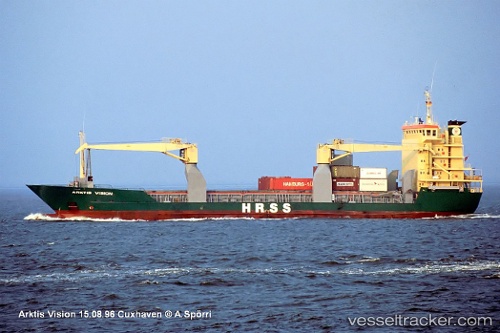
Vessel '548576300' IMO: 9065285, MMSI: 548576300
UTC, 5.92754, 125.74905, course: 219, speed: 11.3
UTC, 5.69702, 125.56155, course: 223, speed: 11
2026-02-01 20:20:06 UTC, 5.57803, 125.45806, course: 229, speed: 10.7
Live AIS position:
UTC. 35 nm SE of GENERAL SANTOS),
updated 2026-02-01 20:20:06 UTC.
Find the position of the vessel '548576300' on the map. The latter are known coordinates and path.
marine traffic ship tracker show on live map
The current position of vessel '548576300' is 5.57803 lat / 125.45806 lng. Updated: 2026-02-01 20:20:06 UTCDetails:
Last coordinates of the vessel:
UTC, 6.37298, 125.78769, course: 187, speed: 11.8UTC, 5.92754, 125.74905, course: 219, speed: 11.3
UTC, 5.69702, 125.56155, course: 223, speed: 11
2026-02-01 20:20:06 UTC, 5.57803, 125.45806, course: 229, speed: 10.7