 vesseltracker.com
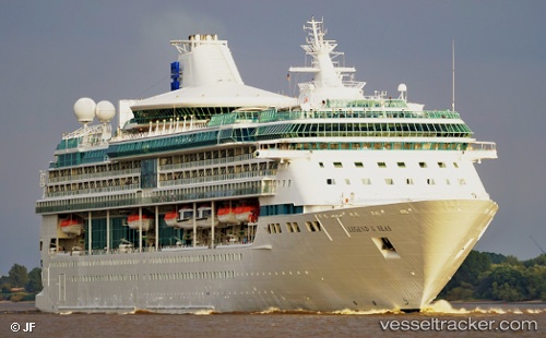
Vessel Marella Discovery 2 IMO: 9070620, MMSI: 311378000 Cruise Ship
UTC, 12.44806, -66.68251, course: 90, speed: 15.4
UTC, 12.40043, -66.04451, course: 103, speed: 15.4
2026-02-24 17:19:50 UTC, 12.36300, -65.52725, course: 95, speed: 15.6
Live AIS position:
UTC. 118 nm N of Higuerote),
updated 2026-02-24 17:19:50 UTC.
Find the position of the vessel Marella Discovery 2 on the map. The latter are known coordinates and path.
marine traffic ship tracker show on live map
The current position of vessel Marella Discovery 2 is 12.36300 lat / -65.52725 lng. Updated: 2026-02-24 17:19:50 UTCCurrently sailing under the flag of Bahamas
Marella Discovery 2 built in 1995 year
Deadweight:
5200 tDetails:
Last coordinates of the vessel:
UTC, 12.46776, -66.94845, course: 92, speed: 15.7UTC, 12.44806, -66.68251, course: 90, speed: 15.4
UTC, 12.40043, -66.04451, course: 103, speed: 15.4
2026-02-24 17:19:50 UTC, 12.36300, -65.52725, course: 95, speed: 15.6